Wide Coverage Nobody Notices: Dome Security Cameras in Connecticut
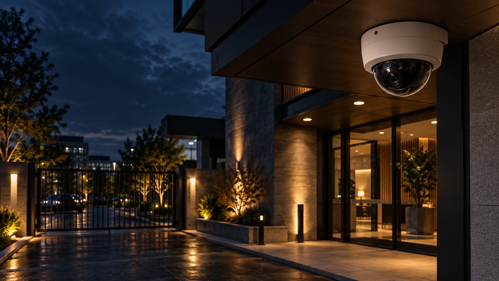
Where a bullet camera announces itself on a building's perimeter, a dome camera blends in. Its low, rounded housing sits against a ceiling or wall without drawing the eye, hiding which direction the lens points behind a tinted cover. That discretion is why dome cameras dominate the indoor spaces of Connecticut businesses, watching sales floors, lobbies, corridors, and common areas without turning the room into a visible surveillance zone. Mammoth Security Inc. designs camera systems that place dome cameras where their strengths fit, with teams working from the Norwalk office on Westport Avenue and the New Britain office on Hartford Square.
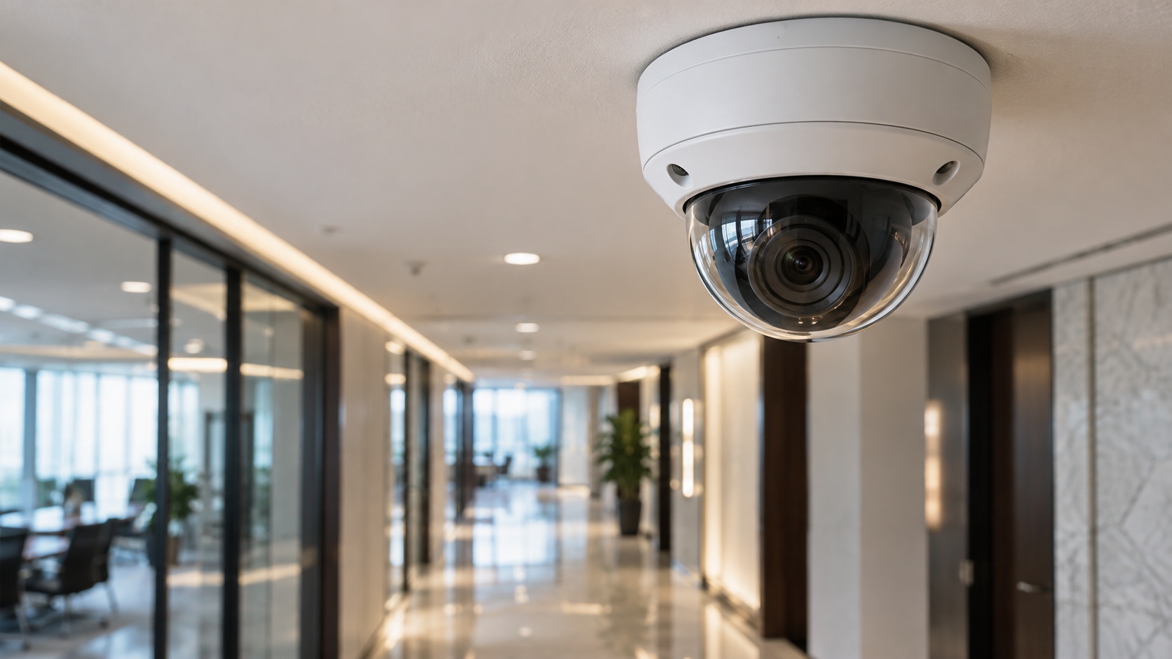
A dome camera is a fixed camera set inside a low-profile dome-shaped cover, usually mounted overhead. The tinted dome conceals the exact direction of the lens, so a person in the room cannot tell which way the camera looks, which both preserves the look of a space and prevents someone from stepping just outside a camera's view. The rounded housing is also harder to grab or knock aside than a protruding camera, and vandal-resistant models add a polycarbonate cover and tamper-resistant casing for spaces where that matters. For indoor and semi-public spaces, that combination of discretion and durability is the dome camera's job.
The Tint Hides the Aim
A dome camera's tinted cover conceals which direction the lens points, so a person in the room cannot step just outside its view, unlike a bullet camera whose clear aim can be read and avoided.
One Dome Can See Everything
Fisheye dome models capture a full 360-degree view of an open space from a single ceiling mount, which one camera then de-warps into usable views, covering a whole floor where fixed directional cameras would need several.
Height Is a Design Choice
Dome cameras capture usable detail mounted at eight to twelve feet, but above about 14 feet image detail begins to degrade, which is why mounting height is a deliberate design decision rather than wherever the ceiling allows.
Where Dome Cameras Fit
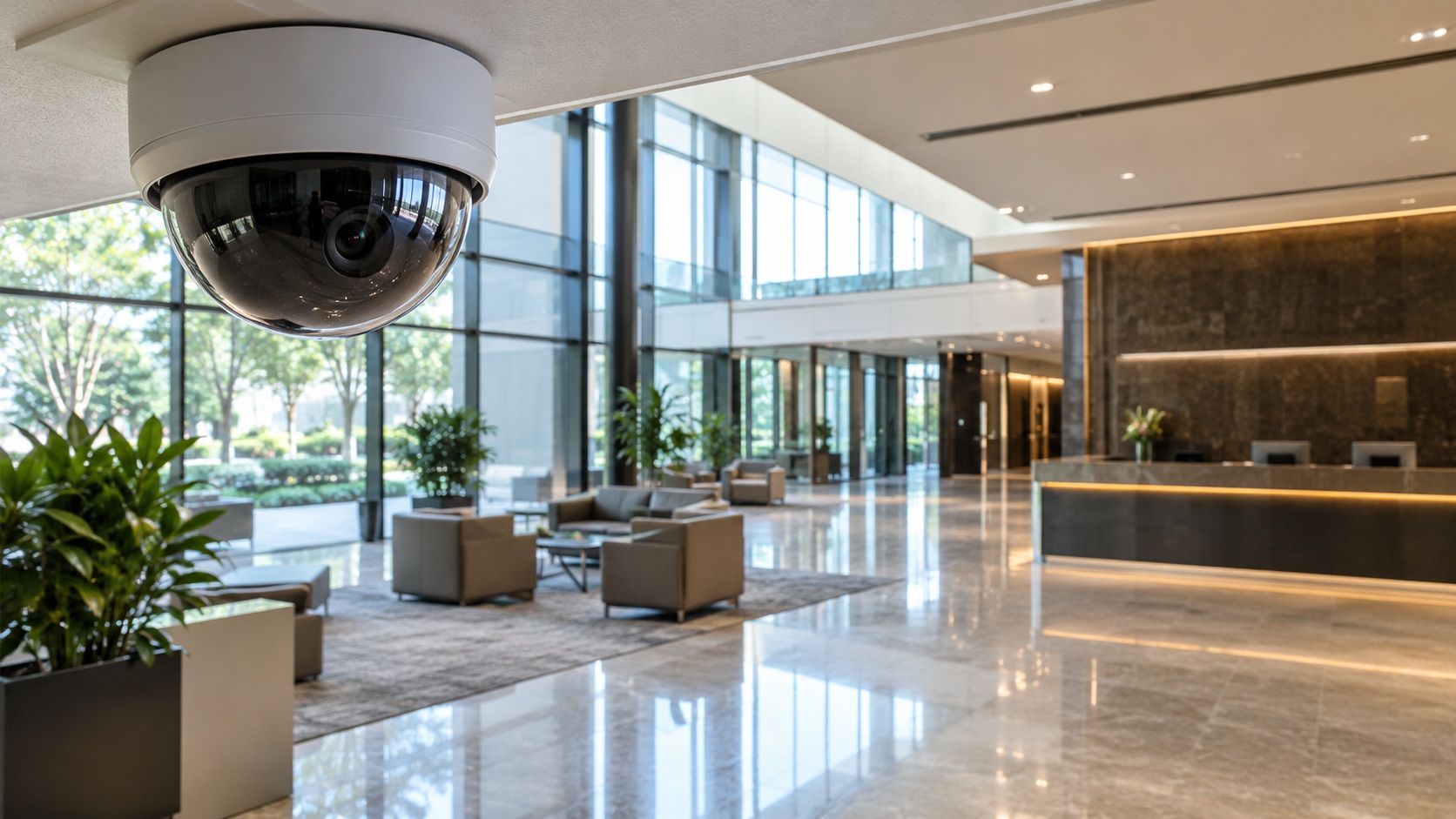
Dome cameras belong indoors and in covered spaces where coverage should be present but not prominent. Retail sales floors, checkout lanes, and stockrooms; office lobbies, reception areas, and open floors; building entrances, corridors, and elevator lobbies; and the common areas of apartment communities and medical facilities are the scenes dome cameras cover well. Mounted at eight to twelve feet, a dome camera watches a room from overhead with a wide field of view, and a single well-placed dome can cover an entire lobby or a full checkout area. Above about 14 feet, image detail begins to degrade, so mounting height is a design decision, not an afterthought.
The wide view is a dome camera strength. Wide-angle and varifocal lenses let a dome camera cover 90, 120, or 180 degrees of a room, and fisheye dome models capture a full 360-degree view of an open space from a single ceiling mount, which one camera can then de-warp into usable views. For an open office floor, a retail sales floor, or a wide lobby, a fisheye or wide dome covers the whole space with one device where fixed directional cameras would need several. Mammoth Security matches the lens and the mount to the space each camera covers.
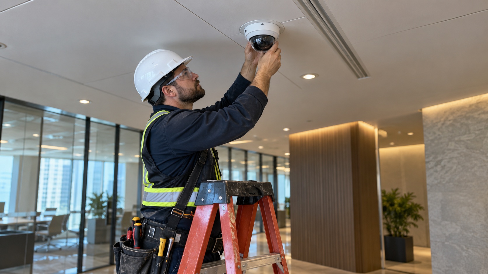
Dome cameras adapt to the space through their mounting. Flush-mount and recessed models sit nearly level with a ceiling for the cleanest look, surface-mount models attach to any ceiling or wall, and pendant mounts drop a dome down from a high ceiling to the height where it captures usable detail. Drop-ceiling installation suits the standard commercial ceiling grid. That range of mounting options is part of why dome cameras fit so many indoor Connecticut settings, from a finished corporate lobby to a warehouse with a high ceiling. Mammoth Security specifies the mount to the ceiling and the coverage the space needs.
Seeing in Indoor Light and Dark
Indoor lighting is trickier than it looks. A camera at a backlit entrance, where bright daylight behind a subject throws the foreground into shadow, needs wide dynamic range, a feature that balances bright and dark areas in the same frame so a face is visible against a glass door full of sunlight. Dome cameras carry built-in infrared for the after-hours darkness of a closed store or an unlit corridor, with smart infrared that prevents the overexposed white blur of a subject close to the lens. For spaces that must be watched around the clock, from a retail stockroom to an apartment lobby, that low-light performance decides whether the footage is usable when it matters.
Resolution and analytics complete the picture. Dome cameras run up to 4K with 8-megapixel sensors, capturing the detail that identifies a person or documents an incident, and onboard analytics can flag motion, loitering, or a breach of a defined zone and push an instant alert. Tied into a video management system such as the Avigilon Control Center, ExacqVision, or Milestone, a dome camera's footage records and searches alongside the rest of the system. Mammoth Security works with premium and NDAA-compliant lines, Avigilon, Axis, and Hanwha Vision among them, and raises the NDAA question for any Connecticut facility with federal or state funding before hardware is chosen.
Part of a Layered System
Dome cameras cover the inside and the discreet spaces; bullet cameras cover the perimeter and the reach; PTZ cameras cover the large open areas. A complete Connecticut camera system uses each where it fits, and the design of that mix is what a security integrator brings over a company that installs one camera type everywhere. Mammoth Security's in-house W-2 technicians survey the ceilings, mounting heights, and lighting, then place dome cameras where discretion and wide indoor coverage matter, integrating them into the larger system and servicing the whole thing rather than handing it to subcontractors.
Mammoth Security is a licensed Connecticut security and low-voltage contractor with four Connecticut locations and more than 5,000 buildings secured across the state, serving retail, office, medical, multi-family, and industrial properties across Fairfield County near Norwalk and central Connecticut near New Britain.
Dome Cameras by Industry
The industries that lean most on dome cameras share a need for discreet, wide indoor coverage. In retail, dome cameras watch sales floors, checkout lanes, fitting-room entrances, and stockrooms, supporting loss prevention where visible cameras would clash with the shopping environment. In office buildings, they cover lobbies, reception, open floors, and corridors without turning the workplace into an obvious surveillance zone. In medical and healthcare facilities, dome cameras cover waiting rooms, corridors, pharmacy and dispensing areas, and nursing stations, where documentation supports both security and the records that compliance requires. In apartment communities, they cover the lobbies, mailrooms, and elevators where residents expect coverage but not a fortress. Mammoth Security matches the dome placement and the analytics to what each Connecticut industry actually needs to see and document.
When Vandal Resistance Matters
Some indoor and semi-public spaces put a camera within reach of the public, and there the dome camera's durability earns its place. Schools, parking structures, transit-adjacent spaces, and common areas in larger buildings expose a camera to tampering, and a vandal-resistant dome with a polycarbonate cover and tamper-resistant casing withstands a strike or a grab that would disable an ordinary camera. The rounded, recessed shape offers nothing to pull on, and the impact-rated housing shrugs off the abuse those spaces see. For a Connecticut property with cameras in reach of the public, specifying the vandal-resistant model is the difference between a camera that keeps recording and one that is knocked offline the first time someone tries. Mammoth Security specifies that durability where the space calls for it, and the standard model where it does not, rather than overbuilding or underbuilding every mount.
A dome camera's value multiplies when its video feeds analytics and an integrated system rather than a lone recorder. Onboard video analytics let a dome camera flag motion in a defined zone, loitering in a space that should stay clear, or a person crossing a boundary, and push an instant alert rather than waiting for someone to review footage after the fact. Tied into the Avigilon Control Center, ExacqVision, or Milestone, a dome camera's feed records alongside the perimeter bullet cameras and the PTZ cameras, and its footage becomes searchable across the whole system, so an operator finding a person on one camera can trace them across the building. Integrated with access control, a dome camera over a controlled door pairs the video with the badge event, so a security team sees who entered and watches the clip together. That integration is what turns a set of cameras into a system a Connecticut business can actually use during an incident, and it is the work an integrator does that a camera installer does not. Mammoth Security's in-house technicians handle the analytics configuration and the integration as part of every deployment.
The businesses that get the most from dome cameras are the ones that place them by design, at the right height, with the right lens and low-light features, in the indoor and common spaces where discreet, wide coverage matters, and integrated into the larger system. Placed that way, a dome camera covers a room completely without dominating it, which is exactly what an indoor space needs. That design discipline, across every camera type, is what Mammoth Security brings to a Connecticut property near Norwalk, near New Britain, and statewide.
For a Connecticut business that needs discreet, wide indoor coverage, the starting point is a free on-site assessment that looks at the ceilings, the lighting, and the spaces to cover. To plan dome security camera installation in Connecticut, contact Mammoth Security Inc. at (860) 854-3446 for a no-obligation written quote.
Roger Ludlow purchased the areas east of the Norwalk River from Chief Mahackemo of the Norwaake (or Naramauke) Indians in 1640.[6] Norwalk was settled in 1649, incorporated September 1651, and named after the Algonquin word noyank, meaning "point of land", or more probably from the Native American name "Naramauke".[7]
The Battle of Norwalk took place during the Revolutionary War,[8] and led to the burning of most of the town.[9] In 1836, the borough of Norwalk was created, covering the central area of the town.[10] In 1853, the first ever train disaster in the United States happened over the Norwalk River.[11] During the 19th and early 20th century, Norwalk was a major railroad stop for the New York, New Haven, and Hartford Railroad.[12] The city of South Norwalk and the remaining parts of the town of Norwalk were both combined in 1910 to form the current city.[13]
According to the United States Census Bureau, the city has a total area of 36.3 square miles (94 km2), of which 13.5 square miles (35 km2) (37.24%) are covered by water.
Norwalk's topography is dominated by its coastline along Long Island Sound, the Norwalk River and its eastern and western banks, and the Norwalk Islands.[21] The highest elevation is 315 feet (96 m) above sea level on the fairway of the 16th hole of the Silvermine Golf Course,[22] and the low elevation is sea level on Long Island Sound.
Norwalk, Connecticut – Racial and ethnic composition Note: the US Census treats Hispanic/Latino as an ethnic category. This table excludes Latinos from the racial categories and assigns them to a separate category. Hispanics/Latinos may be of any race.
As of the 2020 census, Norwalk had a population of 91,184. The median age was 39.5 years. 20.3% of residents were under the age of 18 and 16.0% of residents were 65 years of age or older. For every 100 females there were 94.9 males, and for every 100 females age 18 and over there were 92.6 males age 18 and over.[27][28]
100.0% of residents lived in urban areas, while 0.0% lived in rural areas.[29]
There were 36,078 households in Norwalk, of which 29.2% had children under the age of 18 living in them. Of all households, 43.5% were married-couple households, 18.7% were households with a male householder and no spouse or partner present, and 30.5% were households with a female householder and no spouse or partner present. About 29.6% of all households were made up of individuals and 11.0% had someone living alone who was 65 years of age or older.[27]
There were 38,152 housing units, of which 5.4% were vacant. The homeowner vacancy rate was 1.1% and the rental vacancy rate was 5.7%.[27]
As of the census of 2010, 85,603 people,[30] 35,415 households,[31] and 21,630 families resided in the city.[32] The population density was 2,358.2 inhabitants per square mile (910.5/km2). The 35,415 housing units had an average density of 975.6 per square mile (376.7/km2). The racial makeup of the city was 68.7% White, 14.2% African American, 0.4% Native American, 4.8% Asian, 9.1% from other races, and 2.8% from two or more races. Hispanics or Latinos of any race were 24.3% of the population.[33]
Of the 35,415 households, 27.9% had children under 18 living with them, 47.1% were married couples living together, 11.0% had a female householder with no husband present, and 38.4% were not families. About 33.0% of all households were made up of individuals, and 8.5% had someone living alone who was 65 or older. The average household size in the city was 2.55, and the average family size was 3.16.[34]
The age distribution was 22% under 18, with 7.3% from 18 to 24, 31.7% from 25 to 44, 31.2% from 45 to 64, and 12.8% were 65 or older. The median age was 40 years. For every 100 females, there were 96.2 males.[33]
The median income for a household in the city was $76,161, and for a family was $103,032. The per capita income for the city was $43,303.[35] About 5.7% of families and 8.4% of the population were below the poverty line, including 10.2% of those under age 18 and 8.2% of those age 65 or over.[36][37]
Norwalk has voted Democratic for president since 1992, when the city voted for Bill Clinton.[45] However, between 1928 and 1992, the city only voted Democratic twice: 1936[46] and 1964.[47]
Norwalk city vote
by party in presidential elections[45]
Norwalk has six taxing districts.[56] The First, Second, Third, and Sixth taxing districts are political entities with their respective voters electing officers, holding annual business meetings, approving budgets, and considering other matters, as specified in each of their charters.[57][58] Election of Taxing District Commissioners and Treasurers by voters from the 1st, 2nd, 3rd, and 6th districts take place in odd-numbered years. The Fourth and Fifth districts are not counted as separate governments, as they constitute the city proper.[59] Each taxing district has its own property tax rate reflecting the mix of services each receives from the city.
Municipal elections of mayor, common council, board of education, and other positions are held on odd-numbered years at 13 polling places within five voting districts around the city. Voting districts are not the same for state and federal elections, which are held on even-numbered years at 12 polling locations.[60]
Norwalk City Hall and Concert Hall
Norwalk's municipal government is a Mayor-Council of a mayor-council government with the mayor of Norwalk elected by its voters.[61] The city's charter gives certain administrative powers exclusively to the council and others jointly to the Council and Mayor. The Common Council is the law-writing body of the City of Norwalk. Norwalk's common council consists of fifteen council members, five elected at-large and ten elected by district, two from each district.[62]
Norwalk is represented in the Connecticut General Assembly by five House representatives corresponding to five Connecticut legislative districts and one senator from one Connecticut Senate district.[63][64]
Norwalk Public Schools operates public schools, while the community also has various private schools.
Norwalk was granted a town charter by the Connecticut General Court in 1651. On May 29, 1678, town records mention the establishment of community-supported teaching activities with a passage that reads:
"'At a town meeting... voted and agreed to hier a scole master to teach all the children in ye town to lerne to Rede and write; and that Mr. Cornish shall be hierd for that service and the townsmen are to hier him upon as reasonable terms as they can."
The school that was established in the 1670s was located near the Ludlow Square area of East Norwalk (near the former Roger Ludlow Junior High School).[65]
Baseball and softball are popular amateur sports with active leagues across many age groups in Norwalk. Four baseball fields and 16 Little League fields are in the city. Several of the fields, including Calf Pasture Beach, are illuminated for nighttime play. The fields at the Norwalk Little League team won the Little League World Series in 1952.[66][67] The 14-year-old Babe Ruth League team won the championship in 2008.[68] The Norwalk Biddy Basketball All-Star team Won the state and regional titles and then went on to the world championships in New Orleans, Louisiana, in 1986 and placed seventh in the world.
Three golf courses are in the city of Norwalk: Shorehaven Golf Club[71] is a private club in East Norwalk, the Silvermine Golf Club[72] is a private club in Silvermine (part of the course lies in the town of Wilton), and the Oak Hills Park golf course[73] is a public course in West Norwalk.
The cross-town rivalry between the city's two largest high schools, Norwalk High School and Brien McMahon High School, is fierce, particularly for the football, basketball, soccer, and field hockey teams in the fall, as well as lacrosse, baseball, and softball teams in the spring. Brien McMahon High School's football team won the Fairfield County Interscholastic Athletic Conference and Class M State Football championship in 1994. McMahon High School's boys' lacrosse team won the state division 2 lacrosse championship in 2000.
News sources in Norwalk include News 12 Connecticut, a regional news channel for southwestern Connecticut and based in Norwalk.[74]The Hour was an independent daily newspaper based in Norwalk and founded in 1871, which was purchased by Hearst Communications on April 12, 2016.[75] NancyonNorwalk.com is a self-published, nonprofit news site founded in 2010 that covers local issues.[76]
Interstate 95 and the Merritt Parkway lead through Norwalk, with several exits within the Norwalk city limits, and are the major thoroughfare through the city. U.S. Route 1 goes through the center of the city, mostly following local streets. The major north–south corridor in Norwalk is U.S. Route 7, which is an expressway throughout most of the route in the city. The expressway section ends at Grist Mill Road in Norwalk from where Route 7 resumes northbound along Main Avenue. Other state routes include Routes 53, 123, and 136.
Public transport bus service within Norwalk is provided by Norwalk Transit District.[77] Norwalk Transit District operates fixed-route public bus service in Norwalk and Westport with evening and Sunday shuttles (serving South Norwalk, Main Avenue, and Connecticut Avenue) and commuter shuttles. Access to other cities through bus services Milford, Danbury, and Stamford. All fixed-route buses meet at the Transportation Hub.[78]
The structure at 47 Wall Street was formerly the Wall Street station of the Danbury Branch, which operated from 1896 to 1936. The city's trolley system barn also operated on Wall Street.[80]
The Second Taxing District[83] serves sections of South Norwalk, East Norwalk, West Norwalk, Rowayton and Silvermine.[83] and also owns and operates South Norwalk Electric and Water.[84]
The Third Taxing District[85] provides electric power for East Norwalk.
The districts purchase wholesale power and arrange for its delivery to, and distribution within, their respective districts. Power lines and meters in East Norwalk, South Norwalk, and parts of Rowayton are maintained by the districts. Both the second (SNEW) and third (TTD) district electric departments belong to the six member Connecticut Municipal Electric Energy Cooperative which pools their wholesale power purchasing to obtain lower rates for their customers.[86]
Connecticut Light and Power (now Eversource Energy) operated a power plant, Norwalk Harbor Station on Manresa Island, from 1960 to 1999 when it was acquired by NRG Energy, which then began its deactivation in 2013.[87]
In 2004 the Third Taxing District installed three diesel powered generators at the Norden complex on Norden Place that were initially licensed only for emergency power supply. By summer 2008 the generators, with a combined capacity of 6 Megawatts, had been upgraded to allow licensed operation as regular power providers for the grid (not just emergency power).[88]
In 2007 and 2008 the construction of the Middletown-Norwalk transmission line disrupted traffic along the Boston Post Road, but the completion of the line was hoped to help provide additional power to lower Fairfield County. In addition, a high-voltage undersea line runs from Manresa Island to Long Island to help provide electric power to Long Island Power Authority customers. In 2008, the city government of Norwalk started initial investigations of whether the city might resume generating power for sale to electricity customers in the city.[89] The plant was permanently closed in 2013 and the site began remediation and transformation in 2025 as part of the Manresa Island Park project.
Norwalk Police Department serves as the city's police department,[90] and Norwalk Fire Department serves Norwalk's fire protection district.[91] Norwalk is served 24/7 by Norwalk Hospital and Norwalk Hospital EMS, a 911 paramedic service. The service consists of hospital-based paramedics and EMT-Is who serve Norwalk as well as New Canaan, Wilton, Weston, and Westport.
In Jonathan Franzen's novel The Corrections, Chip Lambert holds a "twelve-hour vigil" at a donut shop in Norwalk (stalking Melissa Paquette in neighboring Westport).
College Road Trip (2008)—scenes filmed in town in mid-July 2007; shooting locations were the former Norwalk police headquarters building in Matthews Park, on the Merritt Parkway and along the Route 7 connector.[93]
^
McCurdy, Kathy and Larry. "Captain Daniel Patrick". John Cardinal's Second Site v5.3.5. Archived from the original on January 4, 2019. Retrieved January 7, 2016.
^Deborah Wing Ray, Gloria P. Stewart (1979) pp. 170–173.
^DiGiovanni, the Rev. (now Monsignor) Stephen M., The Catholic Church in Fairfield County: 1666-1961, 1987, William Mulvey Inc., New Canaan, Chapter II: The New Catholic Immigrants, 1880-1930; subchapter: "The True American: White, Protestant, Non-Alcoholic," p. 82; DiGiovanni, in turn, cites (Footnote 210, page 258) Chalmers, David A., Hooded Americanism, The History of the Ku Klux Klan (New York, 1981), p. 268
^Beard, Patten (September 1954). "Norwalk's Old Schoolhouse". Connecticut Circle Magazine. Archived from the original on July 5, 2017. Retrieved February 18, 2017.
^"TTD Commission Invests in Norden Generators to Help to Control Electricity Prices". Inside Your Third; the Newsletter for Norwalk's Third Taxing District. 7 (8): 1. August 2008.
^Gizmo Graphics Web Design - Bruce C. brown. "Current Events". Silverminetavern.com. Archived from the original on February 8, 2012. Retrieved February 14, 2012.
Core cities are metropolitan core cities of at least a million people. The other areas are urban areas of cities that have an urban area of 150,000+ or of a metropolitan area of at least 250,000+. Satellite cities are in italics.
Most Norwalk businesses need a mix: dome cameras for indoor lobbies and retail floors, bullet cameras for perimeters and parking, and PTZ cameras for large open areas, all IP cameras running on Power over Ethernet and recording to a video management system. Mammoth Security matches the camera type to each space rather than installing one model everywhere.
What is the difference between a dome and a bullet camera?
Yes. Under Section 889 of the NDAA, a Norwalk facility that takes federal or state funding, or serves aerospace or defense work, cannot use covered brands like Hikvision or Dahua and must use NDAA-compliant lines such as Avigilon, Axis, or Hanwha Vision. Private businesses without federal funding keep more options. Mammoth Security raises this before hardware is chosen.
Can one dome camera cover a whole room?
Yes. Integrated with access control, a camera pairs a door event with its video, and tied to 24/7 monitoring, a camera's alerts reach a center that can verify activity on live video and coordinate a response. Verified video earns a faster police response than an unverified alarm. Mammoth Security designs this integration for Norwalk properties.